Home / What Do We Offer? / Climate Hazard Tools

Climate Hazard Tools: CHAs and CHRIS

Understand coastal risk before you make decisions

PEI’s coast is changing due to erosion, flooding, storm surge, and sea-level rise. The Province offers tools to help residents, property owners, municipalities, and decision-makers better understand coastal hazards and plan for the future.

CHRIS: Climate Hazard and Risk Information System

CHRIS is a web-based mapping tool that allows the public and decision-makers to explore climate-related hazards and information across Prince Edward Island.

CHRIS can help users view and explore information such as coastal flooding, coastal change, flood depth, hazard scenarios, and other reference layers.

Use CHRIS to:

Explore coastal and inland flooding and coastal change information;
View mapped hazard information across PEI;
Support early planning and risk awareness;
Better understand how climate hazards may affect properties, communities, and infrastructure.

How do I use CHRIS?

1

Open CHRIS

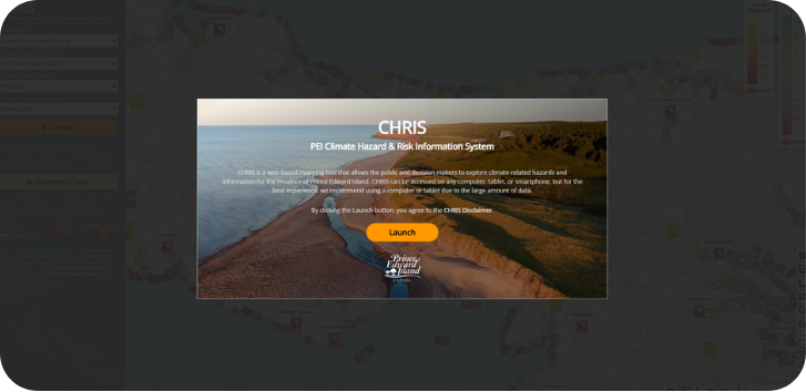
Go to: CHRIS – PEI Climate Hazard & Risk Information System.
Select Launch to open the mapping tool. By launching CHRIS, users agree to the CHRIS disclaimer.
Open CHRIS Step
2

Choose the hazard information

Use the drop-down menus to select the information you want to explore. Depending on what you are looking for, you can choose:
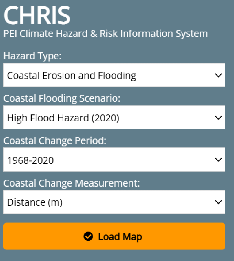
Hazard Type Scenario Coastal Change Period Measurement type
CHRIS app screenshot
3

Load reference layers

Reference layers help provide context while you explore the map. These may include boundaries such as municipalities and watersheds. They are not displayed by default because they can take 1–2 minutes to load.

To load them:
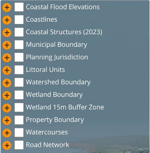
Click Load Map
Click Load Reference Layers
Select the reference layer(s) you are interested in
CHRIS app screenshot
4

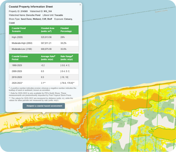
Explore the map

Once the map loads, you can zoom in, move around, and look at hazard information for different areas of PEI. Use the legend to understand what the colours or values mean, such as flood depth or coastal change distance.
Explore the map Step

Coastal Hazard Assessments

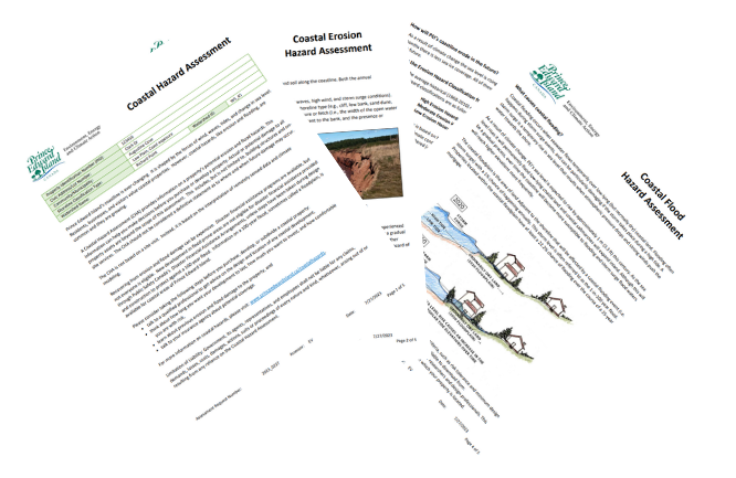
A Coastal Hazard Assessment (CHA) is a free service that provides a summary of potential coastal erosion and flood hazards for any coastal property in PEI.

A CHA can help current and future property owners understand coastal risks before buying, selling, building, renovating, developing, or maintaining a coastal property.

Why request a CHA?

Anyone can request a Coastal Hazard Assessment for any coastal property in PEI. A CHA can also support municipalities with development control, land-use planning, infrastructure asset management, and emergency management.

Coastal Hazard Assessments

A CHA can help you:

Understand potential erosion and flooding risks;
Plan where buildings may be placed more safely;
Consider long-term coastal change before investing;
Support conversations with qualified professionals;
Make more informed decisions about buying, selling, or developing coastal property.

What do I need to request a CHA?

Your contact information.
The property identification number, or PID.
The reason for your request.
A site plan or map if the request covers a large area or multiple properties.

Did you know?

There is no cost to request a Coastal Hazard Assessment!

Want to know more?

If you have questions about Coastal Hazard Assessments or how to use CHRIS, please reach out to us.