
CHRIS: Climate Hazard and Risk Information System
CHRIS is a web-based mapping tool that allows the public and decision-makers to explore climate-related hazards and information across Prince Edward Island.
CHRIS can help users view and explore information such as coastal flooding, coastal change, flood depth, hazard scenarios, and other reference layers.
Use CHRIS to:
How do I use CHRIS?
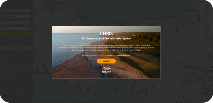
Open CHRIS
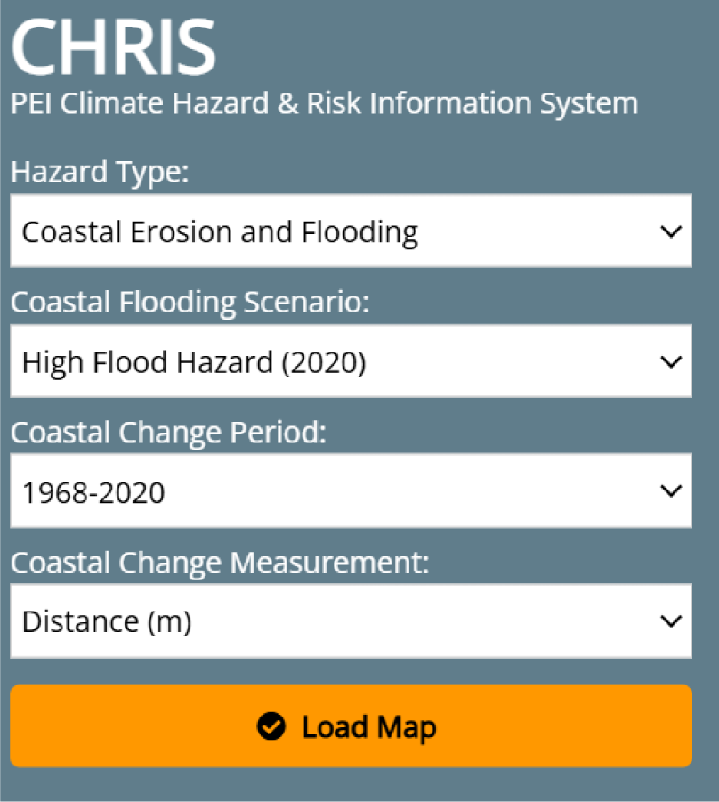
Choose the hazard information
Use the drop-down menus to select the information you want to explore. Depending on what you are looking for, you can choose:
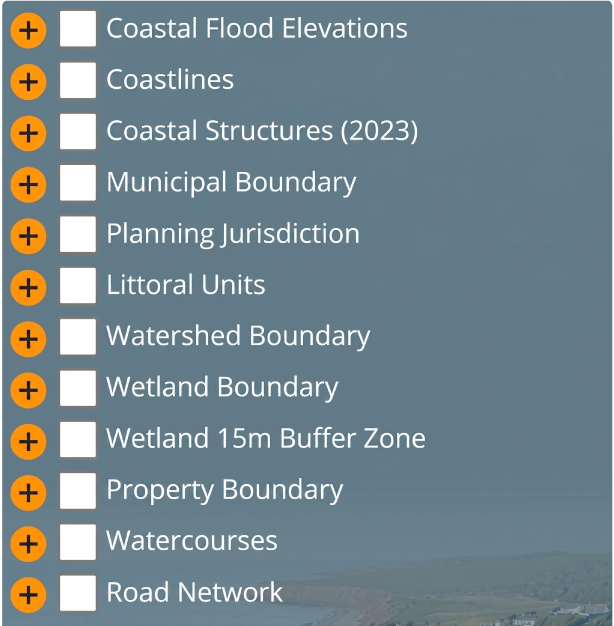
Load reference layers
Reference layers help provide context while you explore the map. These may include boundaries such as municipalities and watersheds. They are not displayed by default because they can take 1–2 minutes to load.
To load them:
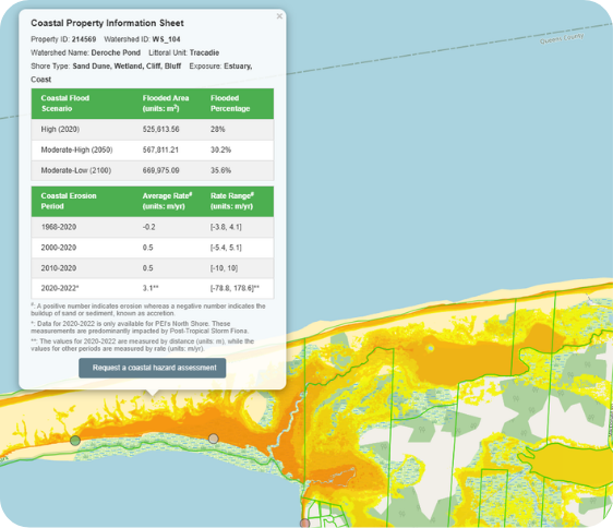
Explore the map
Once the map loads, you can zoom in, move around, and look at hazard information for different areas of PEI. Use the legend to understand what the colours or values mean, such as flood depth or coastal change distance.
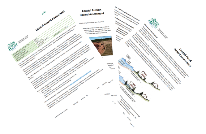
Did you know?
There is no cost to request a Coastal Hazard Assessment!
Want to know more?
If you have questions about Coastal Hazard Assessments or how to use CHRIS, please reach out to us.